

By Aisha Khalifa
What’s Being Built in Your Neighbourhood
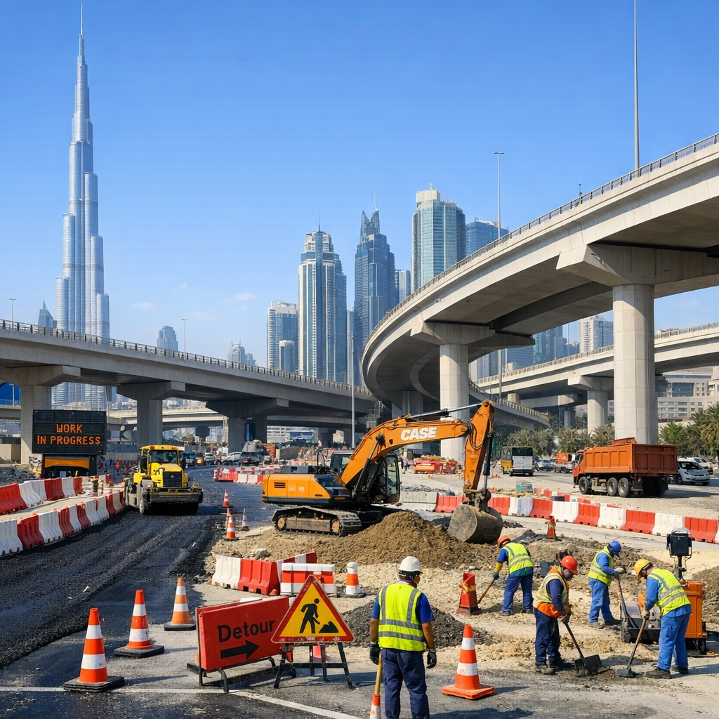
Dubai’s authorities are pushing ahead with several major infrastructure projects designed to respond to growing community needs. One of the biggest is the Latifa bint Hamdan Corridor. This 12-kilometre road project, with multiple bridges and tunnels, is expected to cut travel time between Umm Al Sheif Street and Emirates Road by more than 50 percent—dropping it from around 33 minutes to 15. The aim is to ease congestion for areas like Nad Al Sheba, Al Barari, Dubai Hills, and more. The corridor will serve over 130,000 daily trips and city planners say its capacity will be around 16,000 vehicles per hour in both directions.
Meanwhile, the Dubai Metro Blue Line is moving forward too. It’s a 30-km expansion with 14 new stations—some underground, some elevated—including key interchange hubs at Creek Station (Green Line), Centrepoint Station (Red Line), and Dubai International City. Once completed, it will connect communities such as International City, Mirdif, Dubai Silicon Oasis and Dubai Creek Harbour. Travel-patterns and mobility are expected to improve significantly. Its completion is targeted for 2029.
Addressing Hidden Issues: Drainage, Walkability, and Digital Mapping
Beyond transport, there are persistent complaints among residents about flooding during heavy rains. Dubai Municipality’s TASREEF initiative is responding: contracts worth AED 1.439 billion were awarded for four stormwater drainage phases designed to extend and upgrade the network. More than 36 km of new drains are to be laid, helping reduce seepage, pooling, and risk to property during rains.
Communities are also seeing increased focus on soft mobility and proximity to daily services. Projects like the “Model District” in Al Barsha 2 are being developed with walkability and pedestrian comfort in mind—ensuring education, retail, healthcare, recreation and childcare are reachable within a 20-minute walk or cycle. The idea fits into Dubai’s wider “20-minute city” and “Dubai 2040 Urban Master Plan” vision.
Finally, technology is part of the mix. Dubai’s GIS-based systems and Digital Twin initiatives are enabling real-time mapping and monitoring of infrastructure, environmental risk, and urban expansion. The “Geospatial Services Centre” updates maps, tracks construction, helps with urban safety planning, and supports decision-making for everything from planning transport corridors to safeguarding coastline and assessing soil or flood risk.
What Residents Should Know Now
- If you live near Umm Suqeim, Al Khail, or Meydan, expect changes in traffic routes and perhaps temporary detours as major roadworks progress.
- If Blue Line stations open near your area, check the service plan—many will offer interchanges to existing Metro or tram lines.
- Heavy rains may still cause disruptions until TASREEF drainage improvements are fully in place—monitor updates from Dubai Municipality for road closures or alerts.
- New zones built for walkability may bring about commercial changes—shops, clinics or recreational spots—in residential neighbourhoods. Community input on design and services remains important.
- Stay informed on digital mapping tools if you’re involved in local planning, real estate, or want to monitor safety or environmental impact near your home.
These steps show Dubai is investing in systems, not just structures. For residents, that means not only smoother commutes and safer roads, but services, comfort and resilience becoming part of daily life—we’re seeing the city grow not just bigger, but better.