
Dubai’s roads and public transport systems are undergoing changes designed to make daily travel smoother, more sustainable, and more connected for everyone in the city. Here’s a look at what’s coming and how it may affect how you get around.
Big Infrastructure Moves: Roads, Bridges and Metro Lines
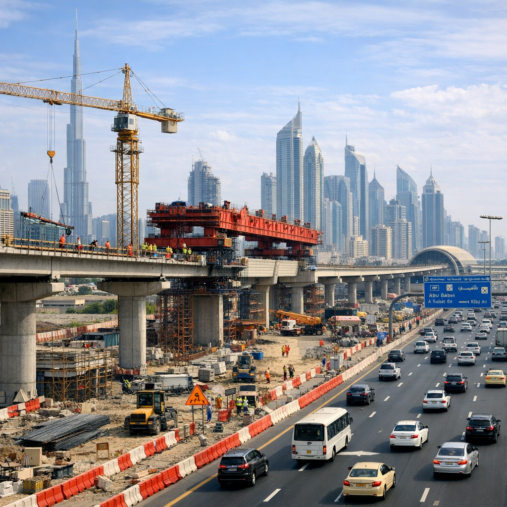
One of the most visible changes is the new three-lane bridge under construction as part of the Oud Metha / Al Asayel Streets Development Project. The bridge, now open, is designed to ease congestion along key corridors and improve traffic flow toward Bur Dubai and from Al Ain Road to Al Wasl. Vehicle capacity in these areas is set to increase significantly.
On a broader scale, the Dubai Metro Blue Line—a 30-km route with 14 stations—is being built to connect several densely populated districts including Al Jaddaf, Dubai Creek Harbour, International City and Dubai Silicon Oasis. It will integrate with existing Red and Green Lines at key interchanges, and serve over one million residents as per the Dubai 2040 master plan.
Soft Mobility & “Last-Mile”: Walking, Biking and Connection
Alongside major transit and road upgrades, plans are underway to enhance “soft mobility”—safe walking and cycling routes, pedestrian bridges, shaded walkways, and crossings. The goal: ensure that people can reach transit stations or shared-mobility hubs within about 20 minutes by foot or bike. Look out for new bike/scooter stations and improved route connections in neighbourhoods.
Shared mobility (like bike and e-scooter rentals), buses, trams, marine transport, and taxis all make up the public transit grid. Together, they carried over 348 million riders in the first half of the year, showing growing confidence in public transit options across many communities.
Goals & Governance: What Dubai Is Aiming For
The Dubai 2040 Urban Master Plan lays out clear targets: most everyday trips should be made via public or shared transportation, public transport and shared mobility trips should rise to around 30% of all journeys, and transport nodes should be accessible by walking or cycling. Completing the Blue Line and other network expansions are part of meeting those aims.
Meanwhile, social policy remains a priority. A recent law formally establishes the Community Development Authority with mandate to strengthen social cohesion, regulate social service delivery, and empower vulnerable groups.
What This Means for Day-to-Day Residents
- Shorter commute times and fewer bottlenecks in areas served by new roads and bridges.
- More options for walking, biking or using shared mobility for last-leg connections.
- Greater access to more transit lines and stations for those who live farther from current Metro or bus networks.
- Lower reliance on private cars for many errands, especially if transit routes and infrastructure match residential and commercial zones.
If you live in areas like Dubai Creek Harbour, Al Warqa, International City, or anywhere near the Blue Line route, you may start seeing changes in transit behaviour and local traffic patterns within the next few years. For now, keeping an eye on road diversion notices, transit updates, and shared mobility infrastructure plans can help you better navigate the evolving shape of the city.